Stable Navigation Data for Dynamic Platforms
The VectorNav Dual Antenna GNSS/INS (VN-300) is perfect for applications that require accurate position, velocity and orientation while in motion. The VN-300 combines precision MEMS inertial sensors, dual GNSS receivers and advanced onboard Kalman filtering. As a result, it delivers stable navigation data during vibration, rapid movement and short GNSS interruptions.
Key Benefits of the VectorNav Dual Antenna GNSS/INS (VN-300)
- Dual-antenna GNSS: Provides true heading without reliance on magnetometers.
- High-accuracy GNSS/INS: Outputs position, velocity and attitude in real time.
- Excellent dynamic performance: Maintains accuracy during motion and vibration.
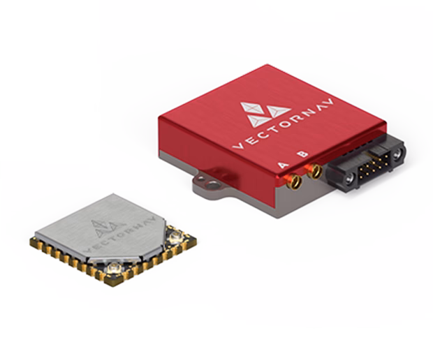
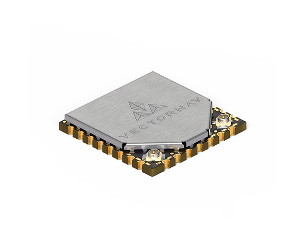
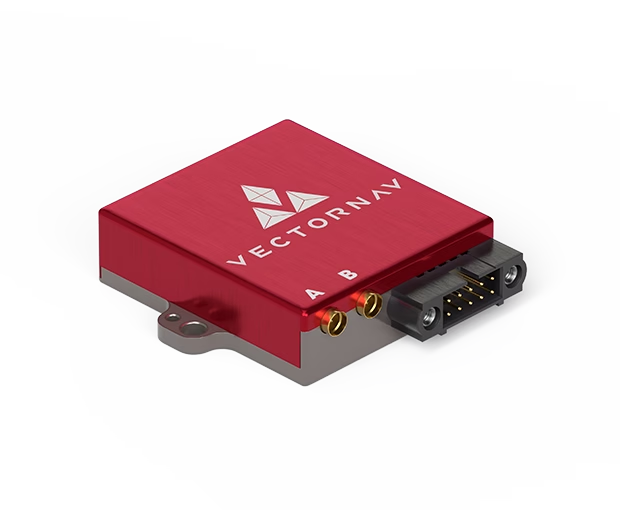
- Two form factors: Embedded SMD and Rugged (CR) versions available.
- Factory calibrated: Inertial sensor calibration across temperature and operating conditions.
VN-300 Form Factor Options
| Feature | VN-300 SMD | VN-300 Rugged (CR) |
|---|---|---|
| Form factor | Surface-mount embedded module | Housed rugged enclosure |
| GNSS capability | Dual GNSS receivers | Dual GNSS receivers |
| Integration | Direct PCB integration | Connector-based installation |
| Best suited for | OEM designs, size-critical platforms | Fielded, mobile and harsh environments |
Which VN-300 Version Is Right for Your Project?
Choose VN-300 SMD for embedded OEM designs where size, weight and power are critical.
Choose VN-300 Rugged (CR) for outdoor, industrial, marine or vehicle-mounted systems.
Click to Read More
Where the VN-300 Fits in Your System
The VN-300 provides reliable navigation data for systems that must maintain accurate heading, position and attitude during motion. For example, it can:
- Provide true heading and navigation for UAV flight and mapping systems.
- Support autonomous ground and marine vehicle navigation.
- Stabilise LiDAR, camera and surveying payloads.
- Maintain heading accuracy in magnetically noisy environments.
Quick Use-Case Table
| Use Case | Why the VN-300 Helps |
|---|---|
| UAV navigation & mapping | Dual GNSS provides true heading and stable navigation in flight. |
| Surveying & LiDAR | Accurate position and heading during platform motion. |
| Autonomous vehicles | Reliable navigation under vibration and rapid movement. |
| Marine platforms | True heading without magnetic interference. |
Why Choose the VectorNav Dual Antenna GNSS/INS (VN-300)?
Many systems require more than raw sensor data. They need stable, real-time navigation outputs they can trust.
The VN-300 delivers this by combining dual GNSS receivers with calibrated inertial sensors and advanced onboard filtering.
When sourced from Metromatics, you also benefit from local technical support and practical integration experience.